Friday, June 3, 2011

Vermont Views and Brew Weekend

This Memorial Day Weekend we went to camp at Woodford State Park in Vermont. I had decided on this site because of the Views and Brews hiking list I found via Peakbagger. Turns out that we've most likely completed many of the hikes in NH. So I checked out the Vermont Chapter of the Views and Brews and decided that Bennington would be easy enough for us to get to.
On Sunday, a group of us decided to hike up Harmon Hill. We found the trail head easy enough just off of Rt. 9. We started up the steep, steep trail. The "steps" were tough but not too bad for our dog. It was his first hike out with us and he was eager to go. After pulled us up to the top of the trail we came to a lovely path through the woods.

All the rain had made it a bit buggy and muddy. Fortunately, there were some planks laid out us to avoid the mud. We were glad of if, unfortunately, the dog didn't feel it was necessary.
After such a strenuous hike up, the even trail was really a nice change of pace. We enjoyed the stroll through the woods. We met up with some other campers from our campground and a thru hiker. We asked a couple that we met up with at the summit to take our photo.

It was a hot hike and we all needed a rest. We snacked and had some water while we looked out over Bennington and the Taconic Range. As you can see the sky was a bit hazy.

We wandered our way back down the trail. Along the way we took some photos of the fungi and vegetation that we saw.

We found the "steps" down the path that we took slowly. The end of the hike came up quickly and we carefully crossed Rt. 9 to the car.
When we got back to our campsite and found the rest of our group had completed the second hike that was connected with this checklist. They said it was easy, so we thought about it for a second and decided to go. The trail was quite buggy and muddy but the view of the reservoir was pretty.
We returned to the campsite with one very muddy pawed dog. He was so tired that he plopped down and napped for hours.

We went to dinner at the Madison Brewing Co. that evening. Despite calling ahead with a reservation, they seemed extremely unprepared for us. The beer was okay, the food was pretty good, but the service was not so good. They did have a knight though.


Posted by Picasa

Monday, May 23, 2011

Midstate Trail Part 6


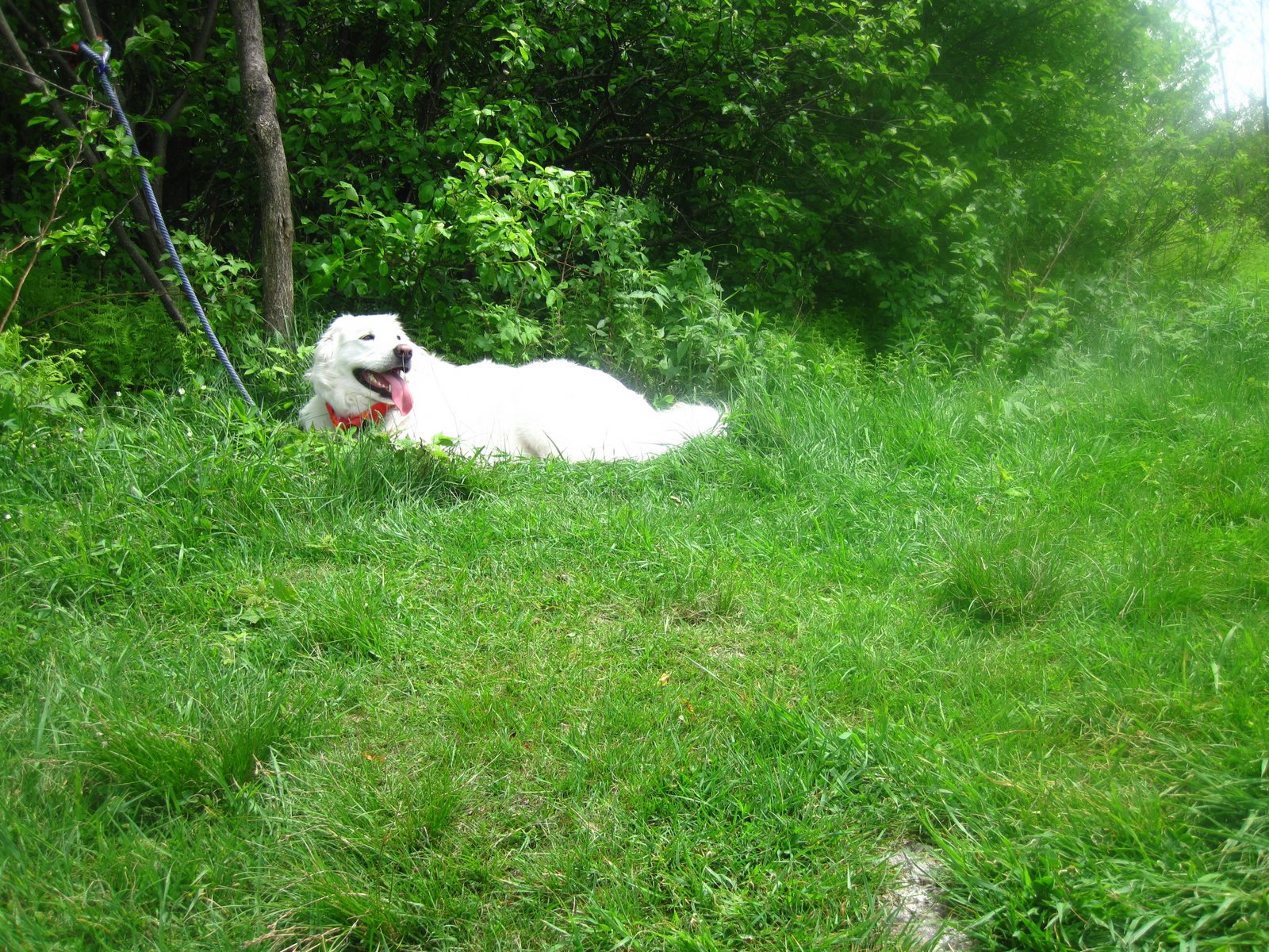
Well, last year was a terrible hiking year! 2011 is going to be so much better. Unfortunately, I have lots more free time as I lost my full-time job last month. Since then, I've been running more and getting out on the local trails. I pulled out my books a few days into unemployment and decided I'm going to start finishing some of these hiking lists I'm working on. SO we went off to the Midstate once again. This little guy was at the parking lot of Intervale Road in Rutland, where we would end our 12 mile trek.

In Massachusetts it had been raining for over a week so we were prepared for very wet trails. Saturday was the first partially sunny day and we were all itching to get outside. We started hiking from East Hill Road in Rutland and less than a mile in we found this really nice open shelter. Compared to the other shelters we'd already seen on the Midstate, we were very impressed with how well-kept it seemed.

Near the shelter we spotted one of many garter snakes sunning themselves near the trail. He was going to be disturbed very soon.

As we walked on towardsRt. 122 we encountered a large group of what appeared to be Boy Scouts heading in the direction of Treasure Valley. The looked like they had just started out with brand new backpacking gear and sleepy looks.

We crossed over Highway 122 and shed a layer of clothes while admiring the Mass. Central Rail Trail. Quickly we were swarmed by mosquitoes that seemed undeterred by deet. We all talked about bringing our bikes back to do some cycling but it was time for some hiking. As we re-entered the woods we discovered the first of our many water obstacles. It was easy enough to get over but deep enough to soak up to the knee.

As we continued to hike the sun started to peek out. We ran across a pair of women on horseback who commented on the buggy climate. Little did we know our bug misery would increase. When we reached Dike #3, we found that there had been recent work to the rail trail.

Then we entered a swampy woods. The map indicated that the swamp had been named Blood Swamp. It was more like Blood Sucker Swamp.

We pushed through as quickly as possible to avoid the bites, but it was slow going when the trail disappeared in the water. We found some interesting bridge rebuilding along the way.

As much as we were challenged with the dampness and the mosquitoes near the swamp, the frogs and toads were loving it!

Then we emerged from the swamp. It was like a breath of fresh air. There was a lovely grove of flowering trees and two granite benches in memorial for Bob Ellis and Rolf Larsen.


There was a nice couple from Worcester having a snack at the benches. We chatted with them and had a snack ourselves while overlooking the swamp. A gentle breeze kept the bugs away and the sun was out. They told us about Barre Falls Dam and how they came to discover this hidden jewel. They checked out the map book that I had from the Midstate Trail Committee. I looked at their map of the dam. They generously let us keep the map. We went on our way determined to lunch at the dam. We knew we were getting close when we found the old cemetery.

Then we found the picnic areas. We ate lunch while watching disc golfers play hole number 18. Then we pushed on. Here are a few pictures from the Barre Falls Dam.


We lost the trail briefly near hole 13 but found it after a little poking around. The blazes weren't as obvious here as the side of the road had overgrown some. We followed old roads through the woods and met up with a father and son fishing. They had just discovered this area as well and we all agreed it was terrific. The father told us that about 2 miles straight down the path is an old prison camp that looked interesting to explore. We, however, were turning to follow the yellow triangles.

For the most part the trail was dry. We worried about the warning in the guide book about high water conditions in this section of the trail. There were some wet and flooded trails but nothing worse than earlier in the day. It is amazing how after hiking 8 miles the last 4 can just drag! WE continued to make good time but managed to take in some of the forest as well. We did find these lovelies at the side of the trail.

Lady-Slippers were in abundance throughout this section. We followed old stonewalls that had stood through many winters and summers. There was some logging projects that we came across as well. Some of them, I'm sure, were to prevent the beetle infestation from spreading. The last bit of trail had a slight incline to it. We had our first accident here. Mel slipped and cut her hand on a rock. Minor injury but still not fun for her. Then as we hiked, there was the creepiness of following a trail of blood. Kev guessed that it was from a deer kill that had been hauled out on the trail. Ick! We eventually found our last cart road and Intervale Road.

I was so turned around at the end. In the morning, I thought we would come out on the other side of the trail. We managed to complete the 12 miles in 6 hours (with lunch and snack breaks). I'm super encouraged that there are only 3 sections left to hike. The next section will have one of the high points of this trail.
Posted by Picasa

Monday, May 31, 2010

Whiteface in the Belknaps


A few weeks back we had a rare free afternoon on a Saturday. We looked at each other and said "let's head for the hills!" We decided to check another one off of the Belknap list and drove up to The trailhead for Piper/Whiteface trail.

The hike up was pretty easy. A gradual ascent up to the jeep roads and then a slightly steep climb to the summit. The weather was hot and humid. At the summit we found lots of biting bugs... though they mainly were after the husband.

While everything was very green, there were very few wildflowers in bloom which did surprise me. I did manage to take a quick shot of these pretty ones that were on the summit near where I was seated.


As you can tell from our pictures, the skies were very clear and we could see far off into the distance. We could see Winnisquam and further!


It was a great day for a quick hike. Hopefully we'll have more hiking tales this summer!
Posted by Picasa

Tuesday, April 6, 2010

Midstate Trail Part 5


Spring is here in New England, though I hear tomorrow is supposed to feel like summer with 80 degree temperatures. Two weekends ago, I gathered the troops together and we hiked another segment of the Midstate Trail. We started with gray clouds at the Spencer Country Inn and hiked approximately 12 miles.

The trail was pretty flat with small changes in elevation. We became a bit misguided in the beginning due to a lack of signage but we found our way after a few moments of wandering by a resevoir. We also found signs of beaver....

We hiked over the top of the dam and enjoyed the "most New England" scenery. There were wide views of farm land and sheep all around Moose Hill!


There was some street travel as well but for the most part the roads were quiet ones. I found a small snake catching some sunshine on the side of one of the roads. There also were amusing No Dumping Signs. Of course I took a picture...


Once we entered one of the state land, we found trails that were less traveled. This is the shelter near Moose Hill.


With all of the rain and flooding that southern New England has had this month,we thought we would encounter more muddy trails. Truth is the trails were pretty clear of debris and fairly dry. We did pause to play Pooh Sticks on this bridge in Spencer State Forest. The water was rushing pretty quickly.


There were all sorts of signs of life popping up along the trails. Trees just started to develop their buds and shades of green were emerging. I took a picture of this plant growing in one of the many swampy areas that we hiked though.


The last few miles of this hike, the sun started to hide behind the clouds and the temperatures dropped significantly. We hiked quickly, sometimes it caused us to miss turns on the trail. Even ones very well labeled!


Eventually, we found the Sampson's Pebble. At that point we realized how much further we still needed to hike. It was tough to judge distance at times. Mountain hiking gives you a different measurement of distance than this low land hiking.

We reached a sign for the midpoint of the Midstate within a half mile of our finishing point. It was amusing because we could see our car waiting patiently for us but we couldn't get there without following the winding trail due to water.


Not a bad start for the season. The Midstate is going to start getting a bit more challenging as we get closer to Wachusett and Watatic. I've hiked both of those mountains in the past but not in connection with the Midstate. I'm excited that I'm nearly completed on this trail. Now it's time to plan the next trip!